Services
- Home
- Services
Explore Our Main Services

Insurance
Before issuing a policy, insurers use drones to capture high-resolution aerial imagery of properties or assets.
Applications
- Roof and structural assessment.
- Surveying flood-prone or wildfire-risk areas.
- Agricultural crop and land evaluations.
Mining
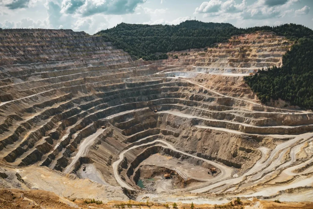
Drones equipped with high-resolution cameras and LiDAR can create precise maps and 3D models of mining sites.
Applications
- Topographic mapping of exploration sites.
- Digital elevation models (DEM) and orthomosaics.
- Volume and area calculations.


Energy
Drones are used to inspect transmission and distribution lines, poles, and substations, reducing the need for manual climbing or helicopter surveys.
Applications
- Identifying faults, corrosion, vegetation encroachment.
- Inspecting insulators, connectors, and conductors.
- Mapping entire grid networks for predictive maintenance.
Defence
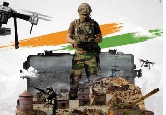
Drones provide real-time intelligence, surveillance, and reconnaissance (ISR) without endangering soldiers.
Applications
- Monitoring enemy movements and terrain.
- Intelligence gathering in high-risk zones.
- Tracking infiltration at borders or coastal lines.
- Target identification and verification.


Agriculture
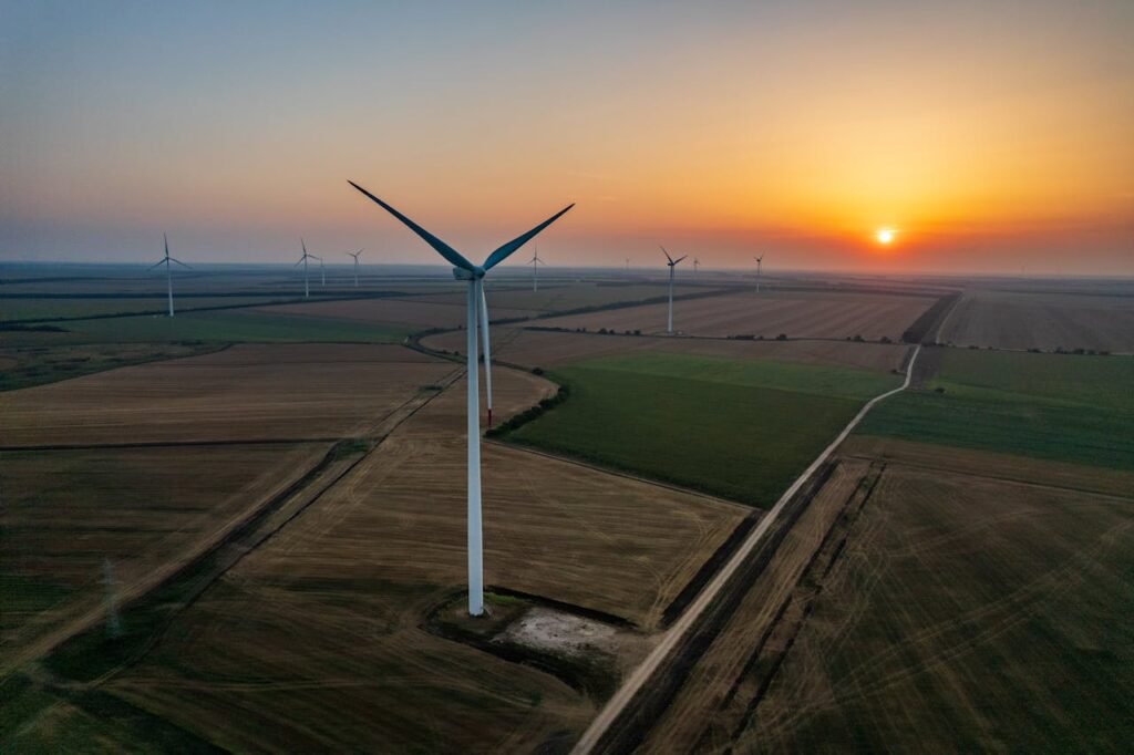
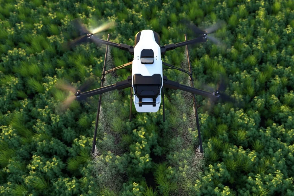
Drones equipped with multispectral, RGB or thermal cameras provide vital insights into crop health.
Applications
- Detecting crop stress, disease, and pest infestations.
- Assessing water distribution and irrigation efficiency.
- Monitoring nutrient.
Real Estate
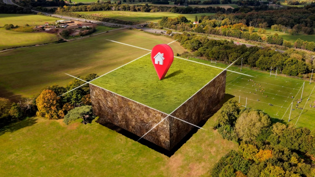
Drones capture high-resolution aerial images and cinematic videos that highlight property features from unique angles.
Applications
- Showcasing large estates, villas, or commercial campuses.
- Capturing surrounding amenities (parks, lakes, roads).
- Creating video walkthroughs and flyovers for listings.


Survey
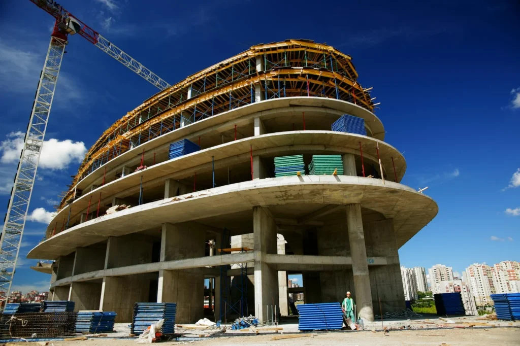
Drones can quickly collect topographical data over large or difficult terrains, generating highly detailed elevation models.
Applications
- Creating contour maps and Digital Elevation Models (DEMs).
- Surveying remote, steep, or hazardous areas.
- Pre-construction and site development planning.
Surveillance
Drones are deployed to monitor remote borders and coastal regions where ground patrols are difficult.
Applications
- Detecting illegal crossings, smuggling, and infiltration.
- Monitoring coastal activity and unauthorized maritime movements.
- Night-time and all-weather border scanning with infrared cameras.
